The Views of Shoreline Trail in Burrard Inlet
2018-10-09
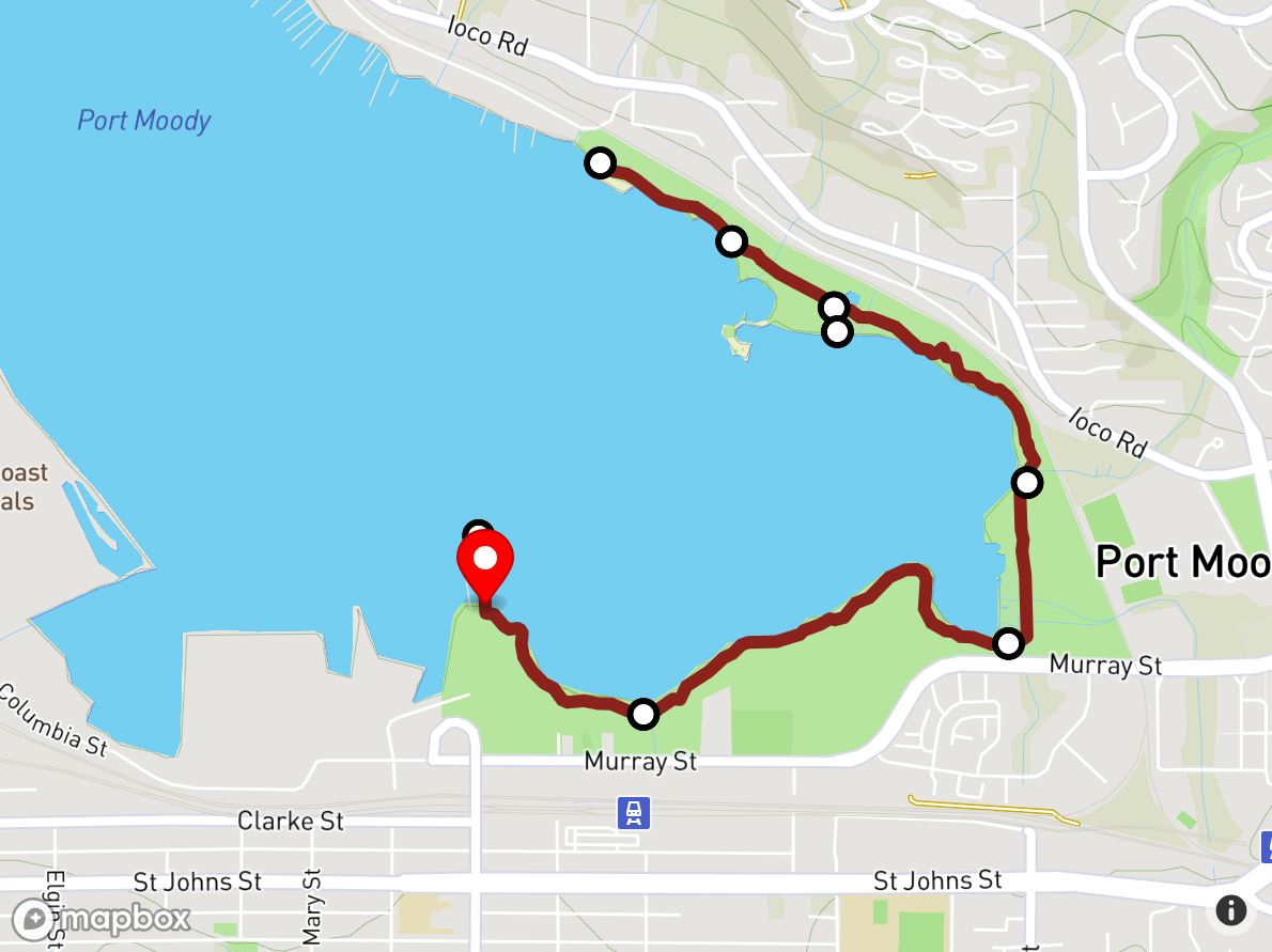
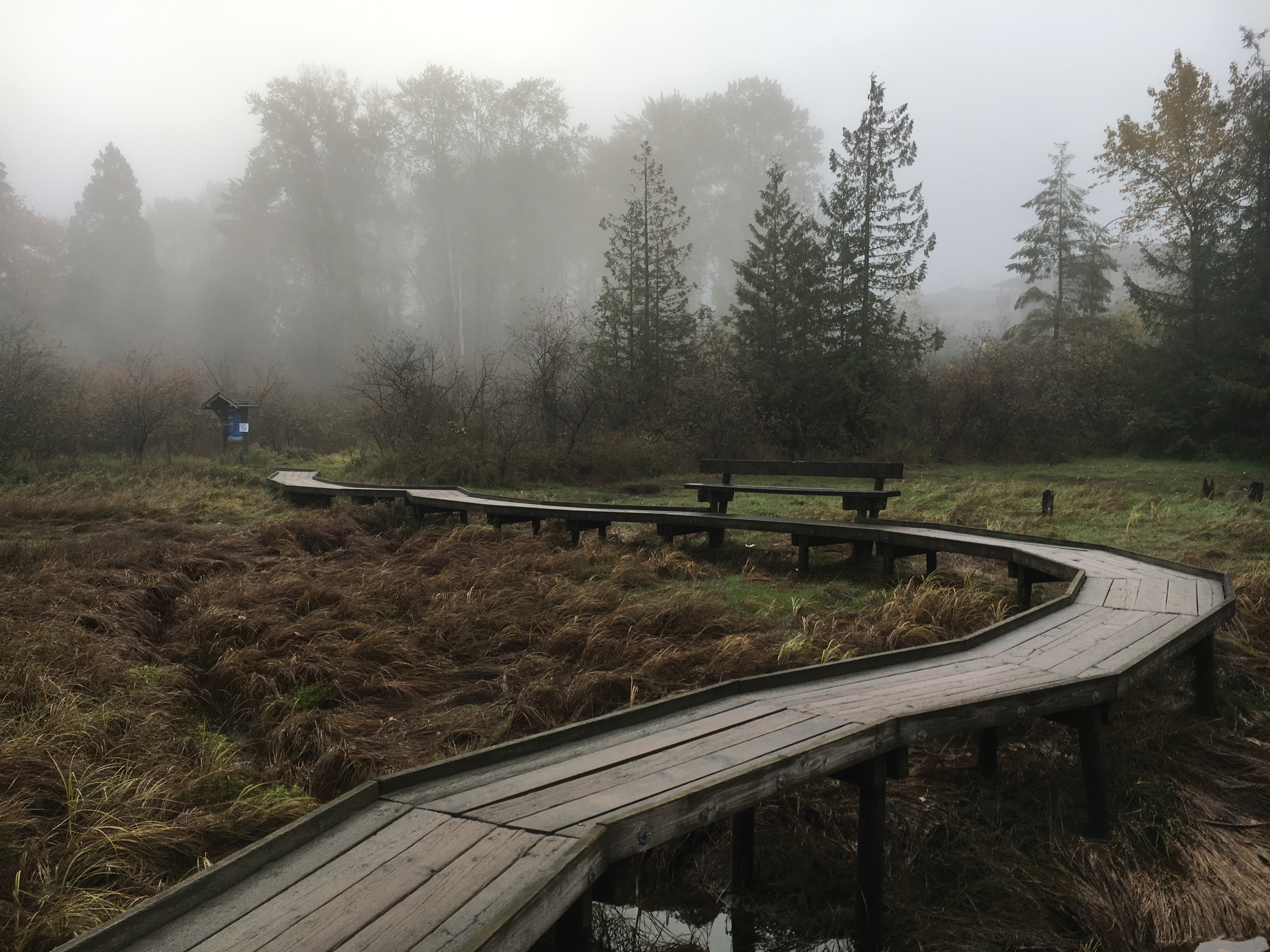
Located along the shores of Burrard Inlet, Rocky Point Park in Port Moody is one of the most scenic parks in the lower mainland. The Shoreline Trail is an easy walking route, 3.6 miles that wraps around the eastern most section of Burrard Inlet, starting from the pier at Rocky Point Park and ending at Old Orchard Park.
The route of the Shoreline Trail is shown above
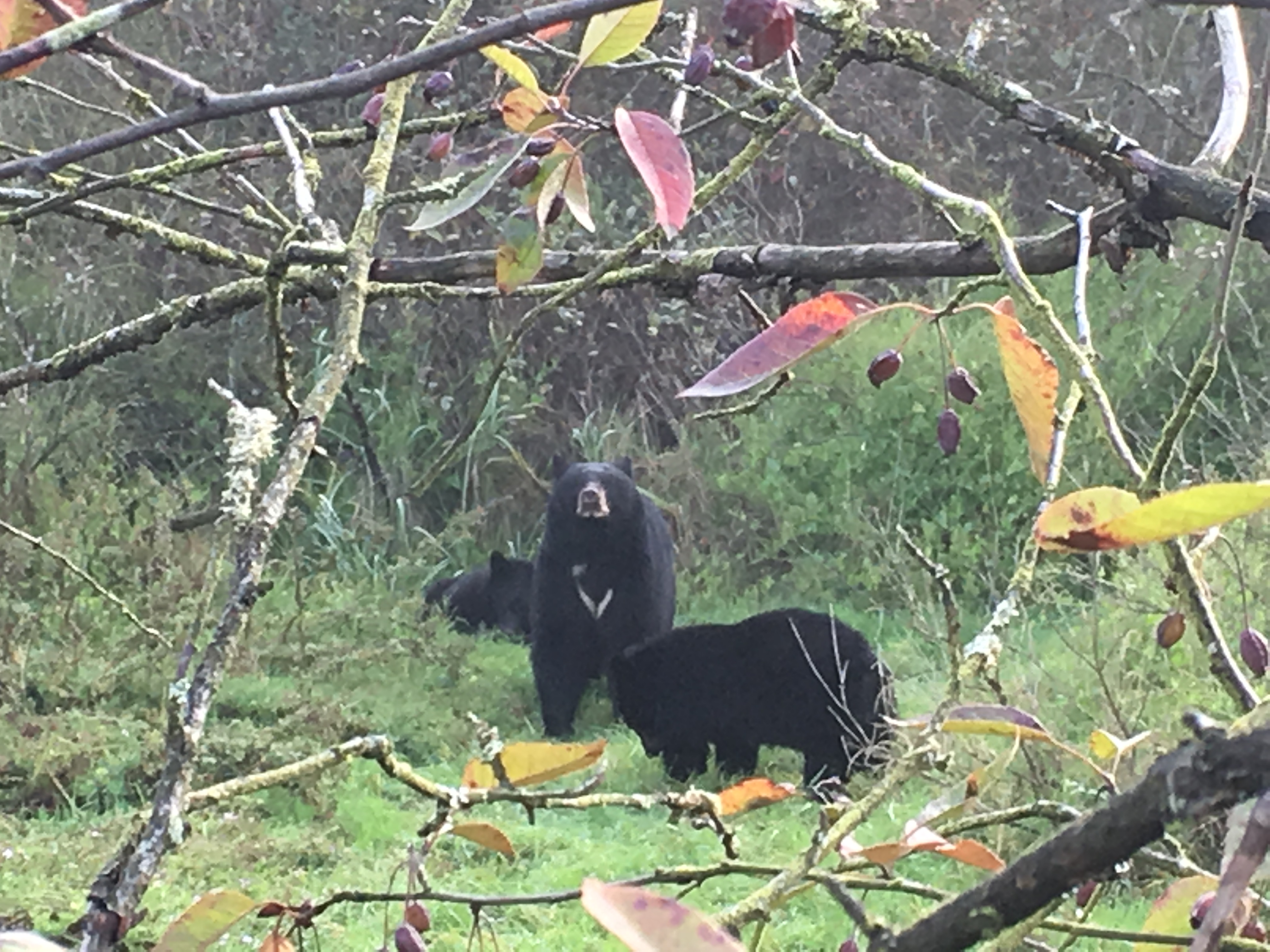
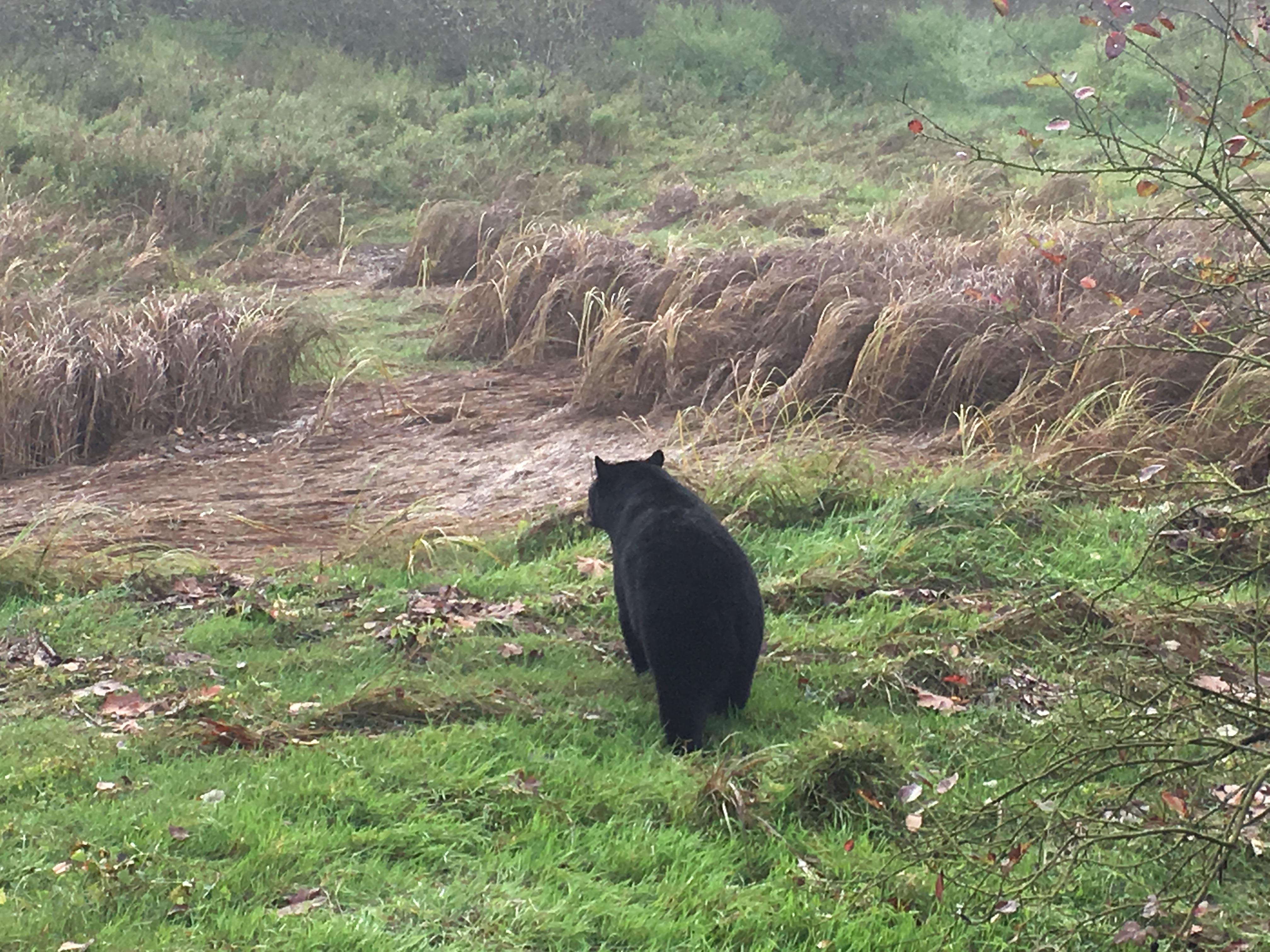
Today, I encountered many birds and black bears on the Shoreline Trail of Burrard Inlet. Their beauty and harmony with human beings embodies the harmonious unity of man and nature.
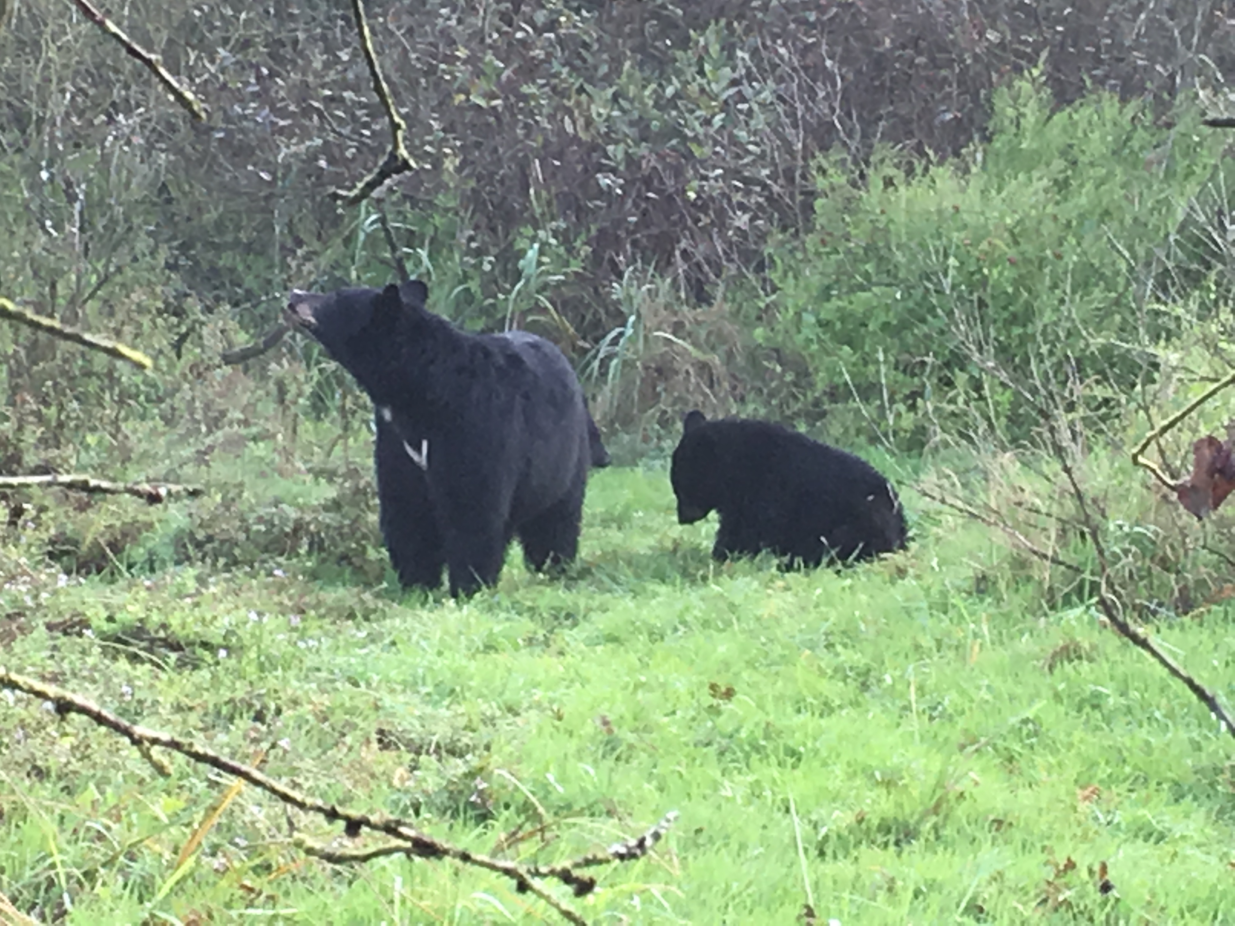
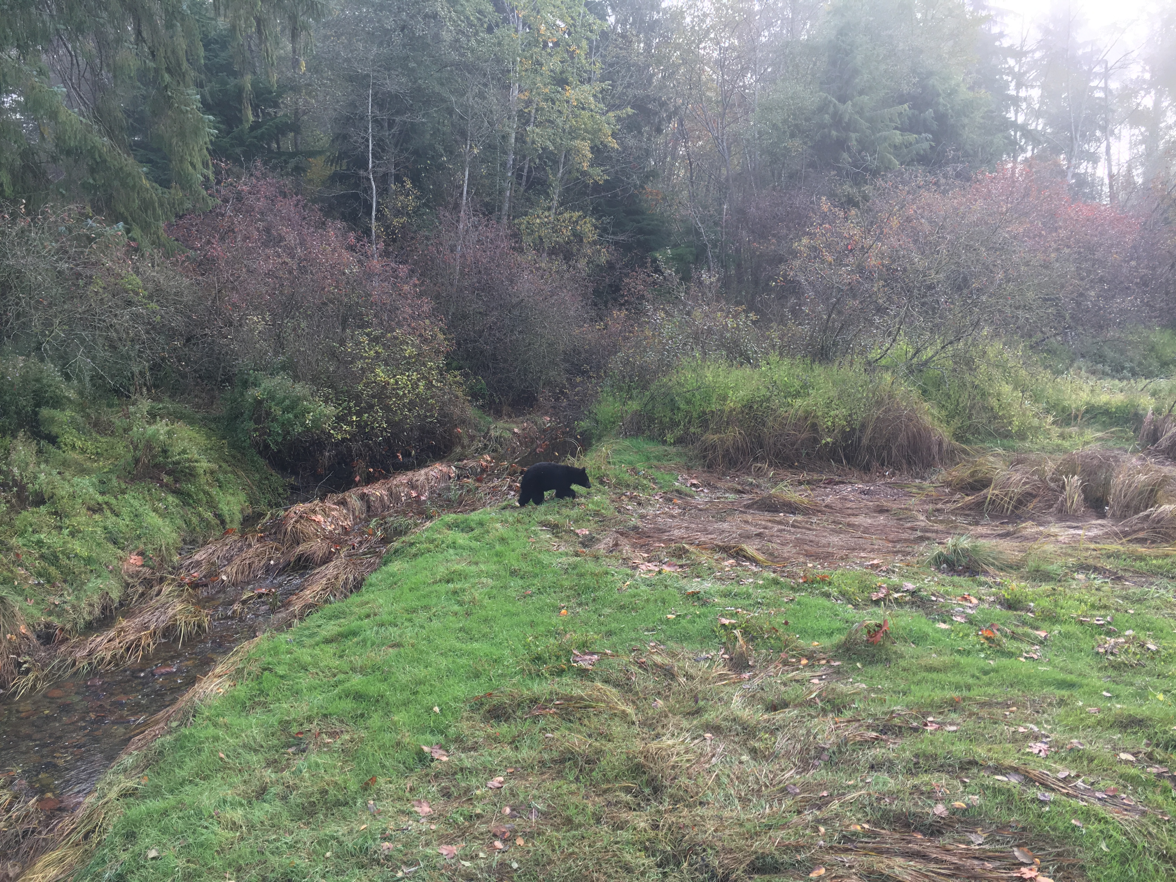
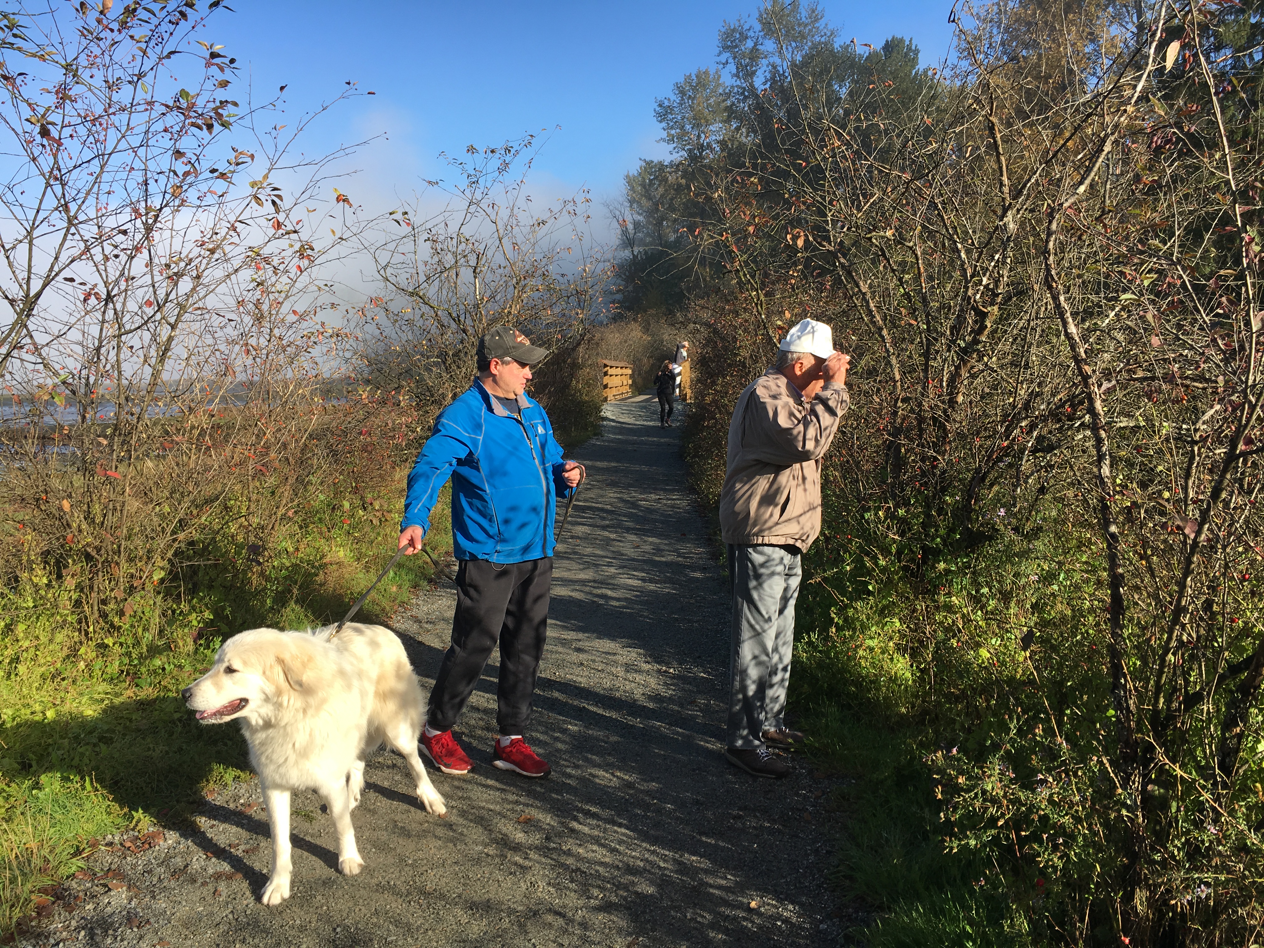
Unfortunately, without my DSLR camera, I missed the opportunity to take high-definition photos!
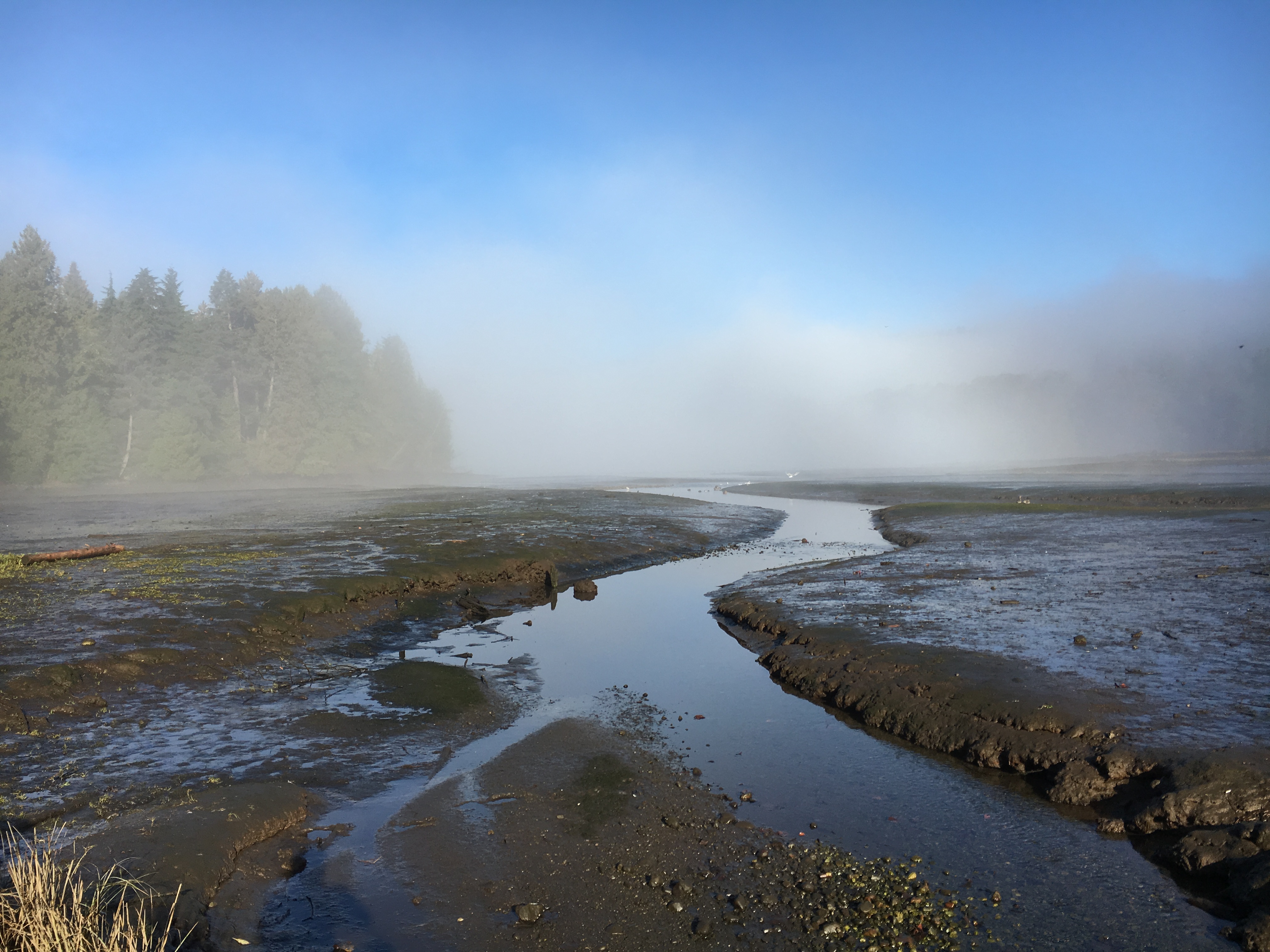
Burrard Inlet, where the morning fog has not yet dispersed
Unlike other large bays on the West Coast of North America, there are several
ports along the coast of Burrard Inlet that facilitate the entry and exit of
vessels of any size. The depth of most of the waters in the bay is also
sufficient to allow large vessels to park. Burrard Inlet has also become the
terminal of the Pacific and Canadian railways; various factors have made this
inner bay more important. Burrard Inlet can be subdivided into three different
seaports: English Bay, the outer port; Downtown Vancouver Coal Harbor; and Port
Moody at the eastern end of Burrard Inlet. There are two bridges across Burrard
Inlet, which connect Vancouver to West Vancouver and North Vancouver (Lions Gate
Bridge and No. 1 Highway). The Brenn Bay is also the deepest bay in the eastern
part of the Greater Vancouver area.
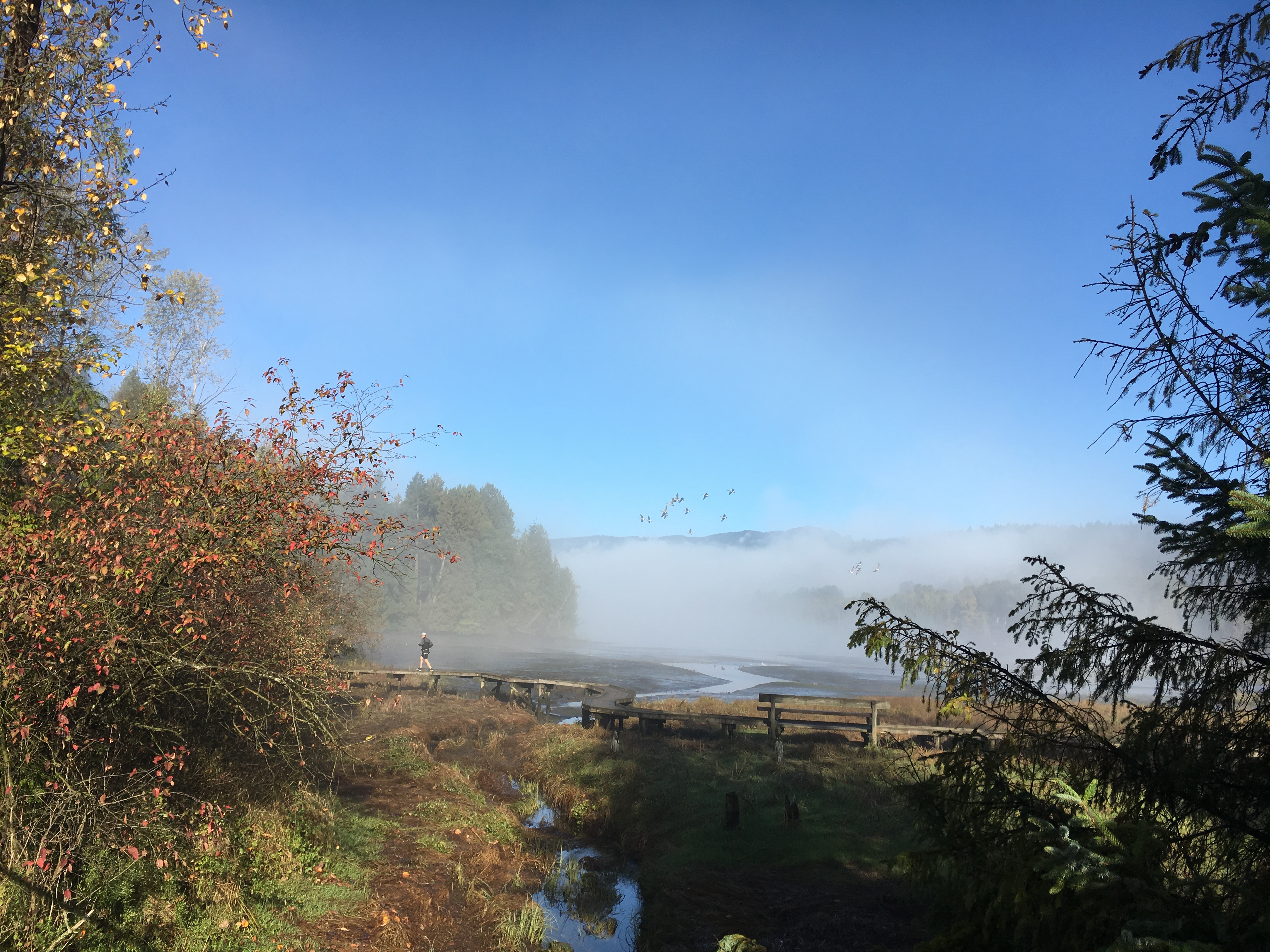

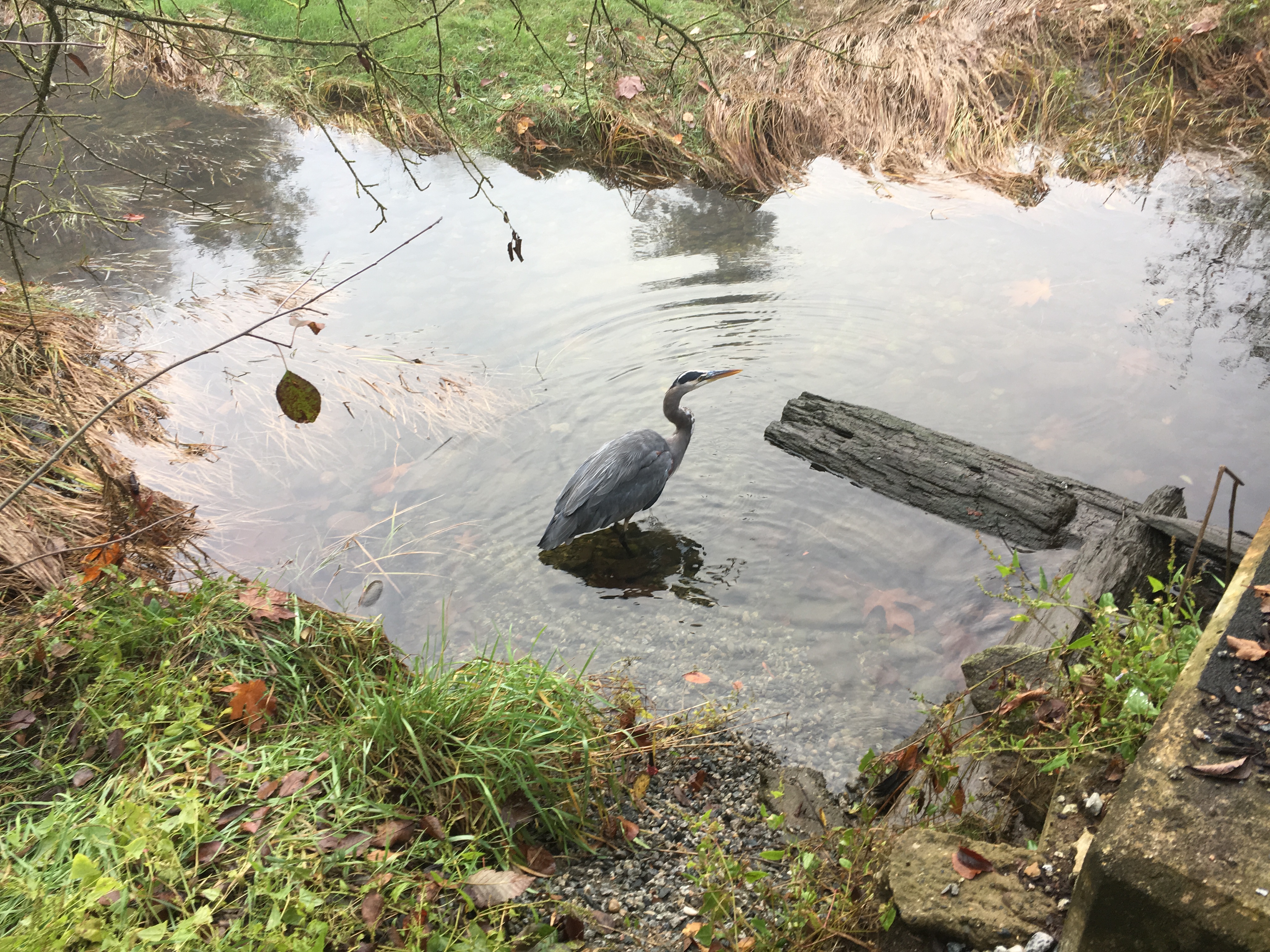

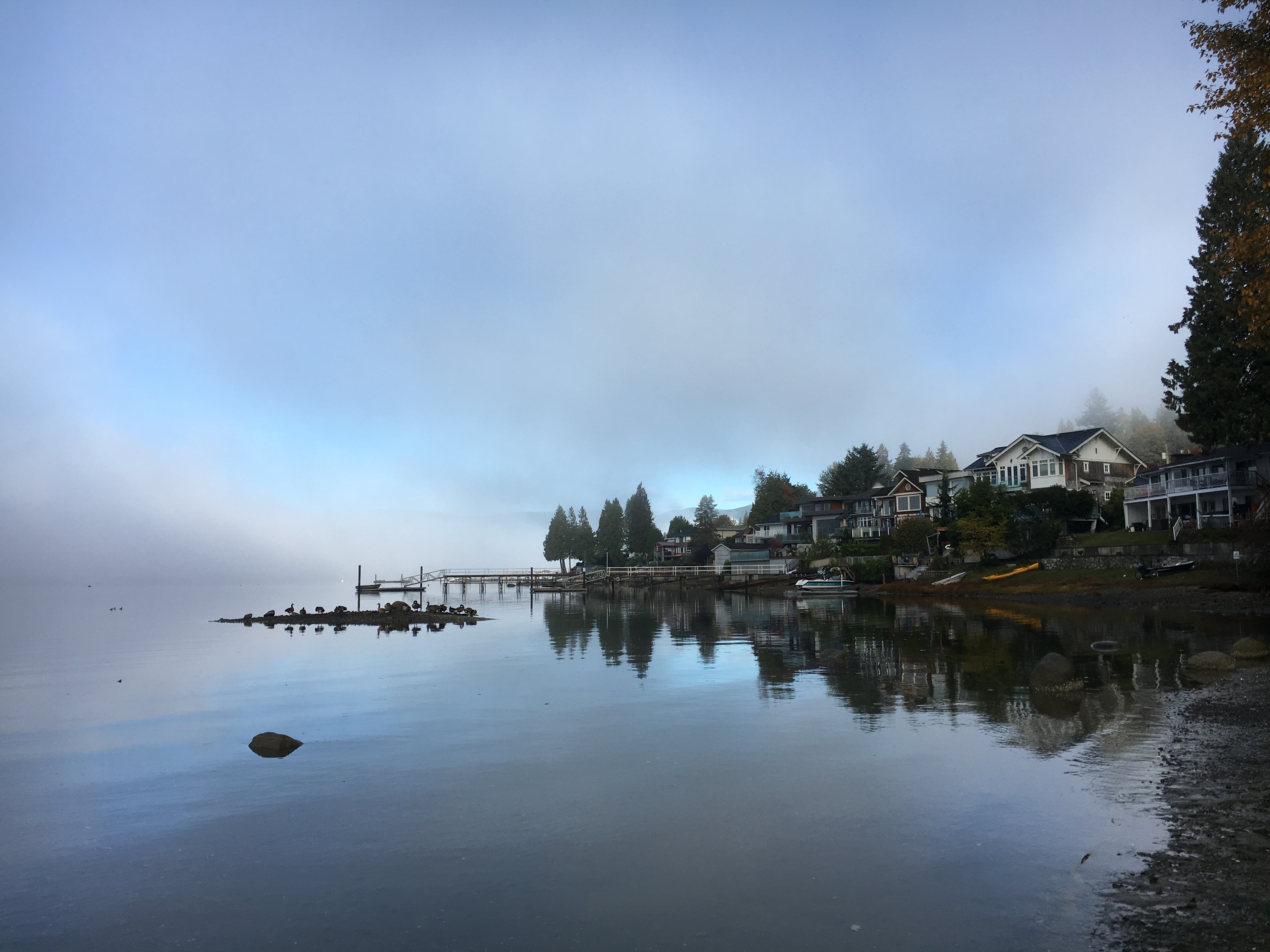
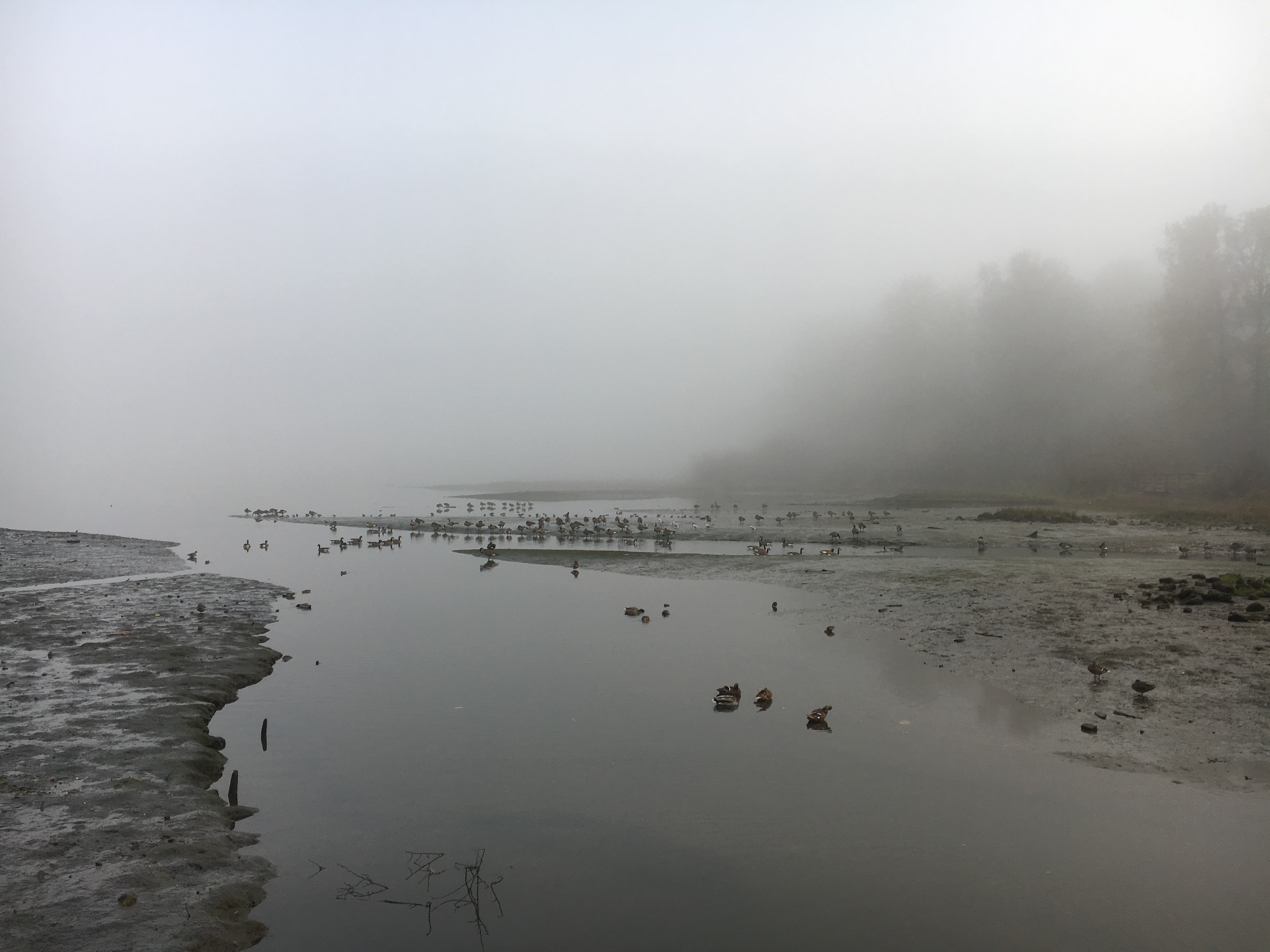
Burrard Inlet, where the tide has receded, attracts many seagulls, wild ducks,
Canadian geese and herons.
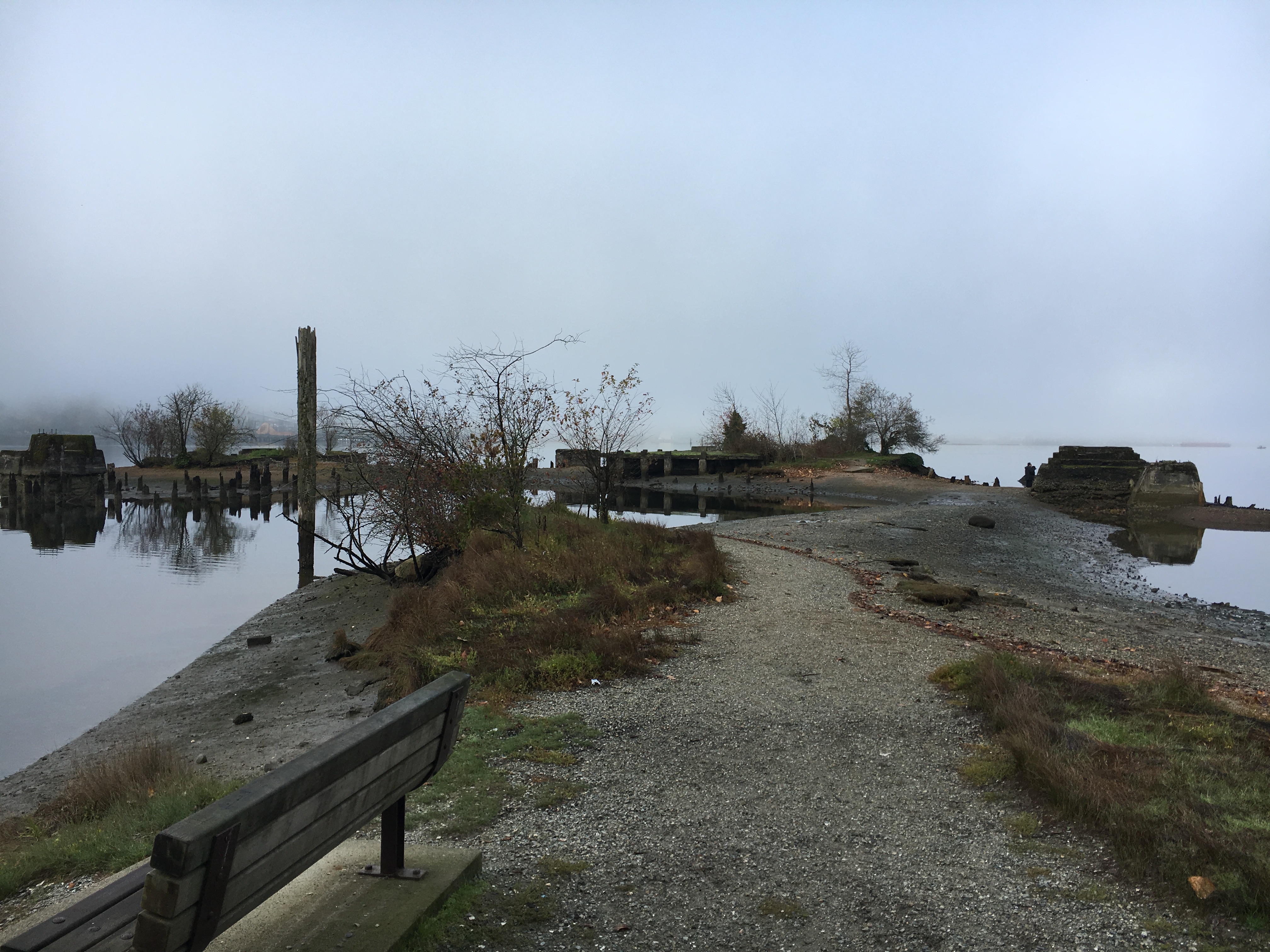
Old sawmill site
Beginning in 1891, the Shawnigan Lake Lumber Company
has been operating the timber business here until it was destroyed by a fire in
1945.
Canadian Geese、Heron and Black Bears